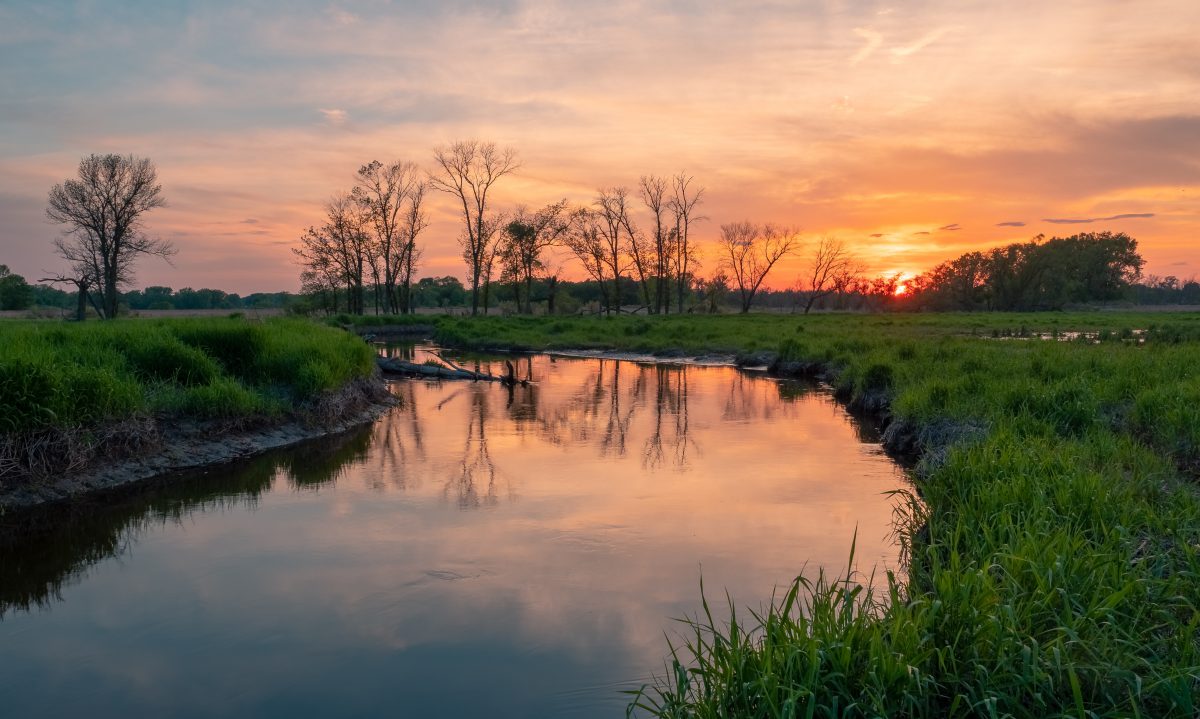
The Maple River Watershed encompasses 937 square miles with just over 400 miles of waterways. The watershed covers parts of Clinton, Shiawassee, Gratiot, Montcalm and Ionia Counties. With over 1,700 farms, a prominent agricultural background defines the watershed. However, in recent years, expanding irrigation and tile drainage on fields have increased pressures on fish habitat and water quality in the Maple River.
The Institute of Water Research, along with 15 partners, launched the Improving Stream Habitat in the Maple River Watershed project, part of the USDA Regional Conservation Partnership Program (RCPP). This five-year program is bringing nearly $600,000 in conservation funding to farmers in the watershed to improve fish habitat and water quality. Financial assistance supports agricultural practices that increase groundwater replenishment such as irrigation water management and irrigation systems, drainage water management and water control structures, residue and tillage management practices, grassed waterways, and filter strips. Producers within the Maple River Watershed are eligible to apply for the program. Conservation financial assistance for the project is provided through the USDA’s Environmental Quality Incentives Program.
The soil-savings practices implemented through this program increase water infiltration and help enhance groundwater replenishment. Water quality benefits from reduced erosion and nutrient runoff, coupled with stable stream temperatures from available groundwater improves fish habitat in the Maple River. We expect to replenish 155 million gallons of water to the watershed and keep 3 million pounds of soil on farm fields by implementing conservation practices on over 4,000 acres of farmland.
With an ambitious set of goals for the project, building strong partnerships is critical to the success of the project. The partnership includes representation from government, conservation organizations, private industry, nonprofits, and professional agricultural associations. Partners include the Natural Resources Conservation Service, Clinton Conservation District, Gratiot Conservation District, Ionia Conservation District, Montcalm Conservation District, Shiawassee Conservation District, Michigan Agriculture Environmental Assurance Program, Michigan Chapter of the Soil Water Conservation Society, Kellogg Company, Michigan Association of Conservation Districts, Michigan Farm Bureau, Michigan Potato Industry Commission, Michigan Trout Unlimited, Michigan Agri-Business Association, and The Nature Conservancy. This diverse set of partners reflects an exceptional team to promote, enroll, contract, and implement conservation practices in addition to reporting broader outcomes to the agricultural community and the public.
The project tracks impacts on groundwater and sediment using the Great Lakes Watershed Management System (GLWMS). The GLWMS is an online mapping and modeling tool that estimates field-scale impacts of conservation practices. Our team is using the Soil and Water Assessment Tool (SWAT) to model groundwater recharge and the High Impact Targeting (HIT) model to estimate sediment reductions.
For more information, visit the project website at https://maplercpp.weebly.com/


